What I Leave Behind
Relaxing in my home office and scratching my mind for writing on a new topic
I do not leave behind great wealth, famous titles, or monuments carved in stone. What I leave behind is quieter, deeper, and, I believe, more enduring.
My Work, Calling, and Contribution
I leave behind the record of a life spent in service and responsibility. As a Power Engineer with the Government of India, I was entrusted with work that sustained communities and supported national growth. My professional life taught me discipline, accountability, and the importance of doing one’s duty sincerely and without noise. I took pride not in position, but in honest work done well.
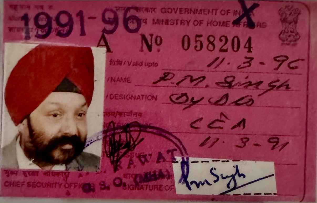
Known as P M Singh, here is my last Government of India ID as Dy Director, CEA
Alongside this, I was fortunate to witness, and participate in, the evolution of computer hardware and software industries at a defining moment in history. I aligned myself early with this transformation and had the privilege of hiring and mentoring over 250 world-class engineers from across the globe, who worked hand in hand with more than 500 Fortune companies in the United States. This experience broadened my worldview and reaffirmed my belief that collaboration, diversity of thought, and ethical leadership can shape industries and futures.
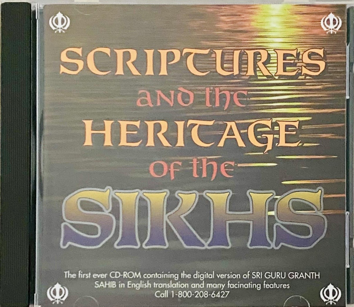
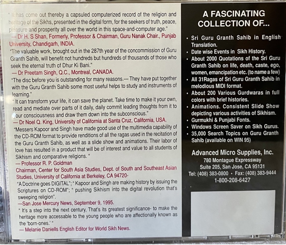
The Famous CD ROM, with comments from media and world leading Literary intelligentsia
Beyond profession, I felt a deep calling to bridge technology with spirituality. I was honored to be the first person to digitize Sri Guru Granth Sahib on CD-ROM, introducing the computer to the Granth so that the Gurus’ word could spread widely, reach younger generations, and transcend physical boundaries, always with reverence and humility. This effort was never about innovation alone, but about preservation, access, and seva.
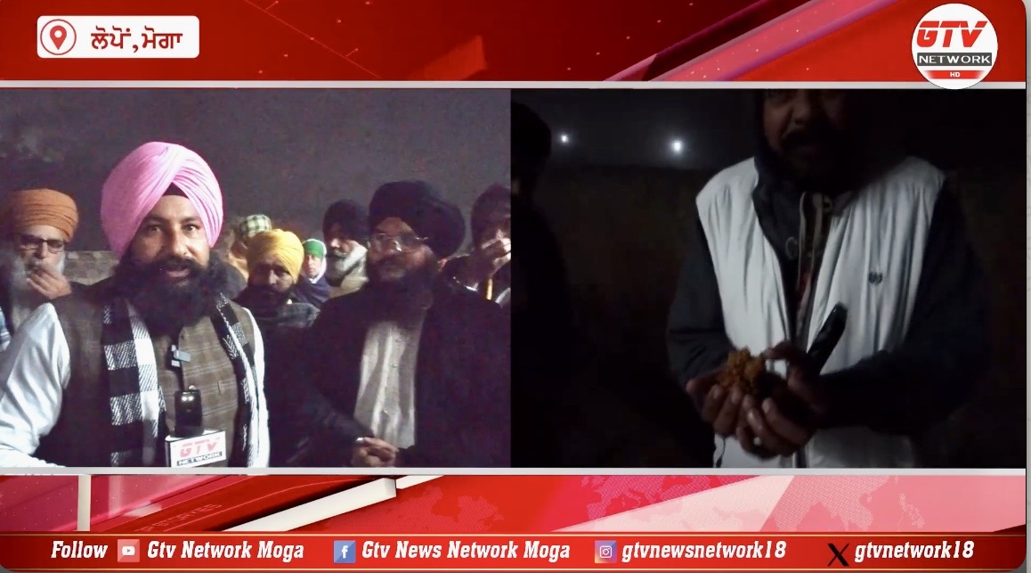
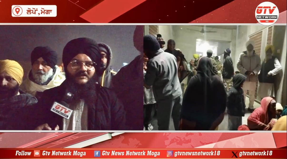
When I first introduced the Sri Guru Granth Sahib to the computer medium, it raised many eyebrows. Concerns were voiced, fingers were raised, and even a formal complaint was lodged with the Akal Takhat. The Jathedar of Akal Takhat Sahib Prof Manjeet Singh ji, who happened to be visiting Silicon Valley, examined the matter carefully. The fear was genuine that printed outputs of Gurbani might lead to misuse or Beadabi.
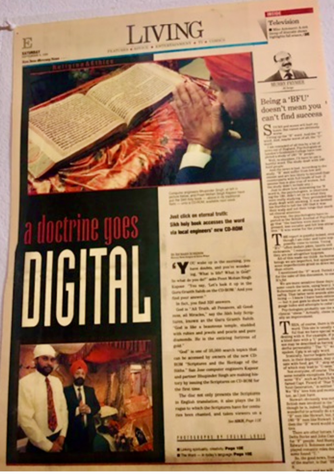
San Jose Mercury News published the story on the Cover of Living Section on Sep 9, 1995 - incidentally our wedding day
I stood with humility, clarity, and reverence for the sanctity of the Guru. After due consideration, the Jathedar cleared me of any sacrilege charge, recognizing that the intent was preservation, access, and respect, not dilution. That moment did not just vindicate me personally; it opened the door for technology to serve the Guru’s word.
Roots, Land, and Giving Back
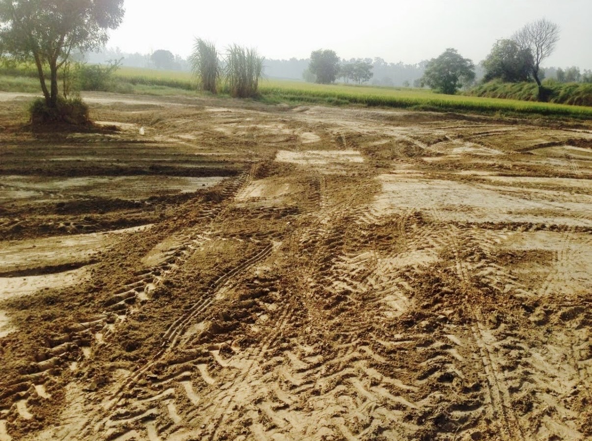 Watching Grading of my lands in village Badbar Dist Barnala Punjab
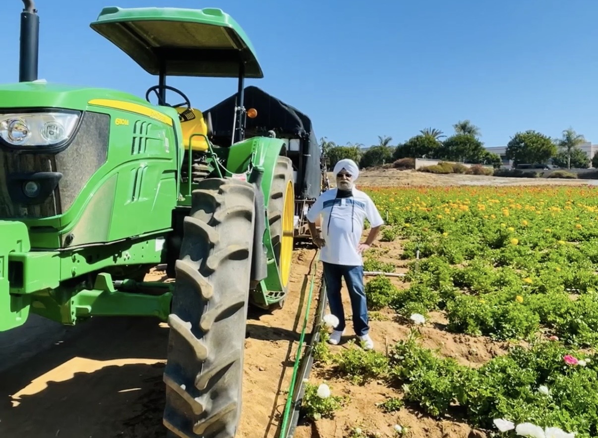
I leave behind a lifelong commitment to my ancestral land, which I continued to develop with care and responsibility. To me, inherited land is not ownership alone, it is a trust passed through generations.

DhunAnand foundation is committed to honor annually 10 top students of Government High School, village Badbar District Barnala Pb with a blazer and books/stationary to DhunAnand Scholars
I also leave behind my work toward educating village children through the DhunAnand Foundation founded by our son Shivpreet Singh. Education, I believe, is the most powerful instrument of dignity and transformation. Supporting rural children was my way of repaying the soil that shaped me.
Family: My True Wealth
 On recent Jason’s wedding Reception
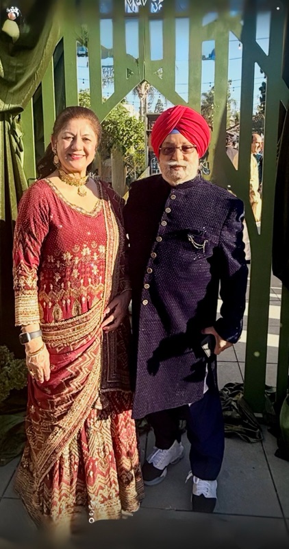
At the heart of my life stands my beloved wife, Harvinder, my companion, strength, and anchor. Whatever balance, calm, and continuity my life reflects is inseparable from her presence. We walked this long journey together, sharing sacrifices, responsibilities, joys, and silent understandings that need no words.
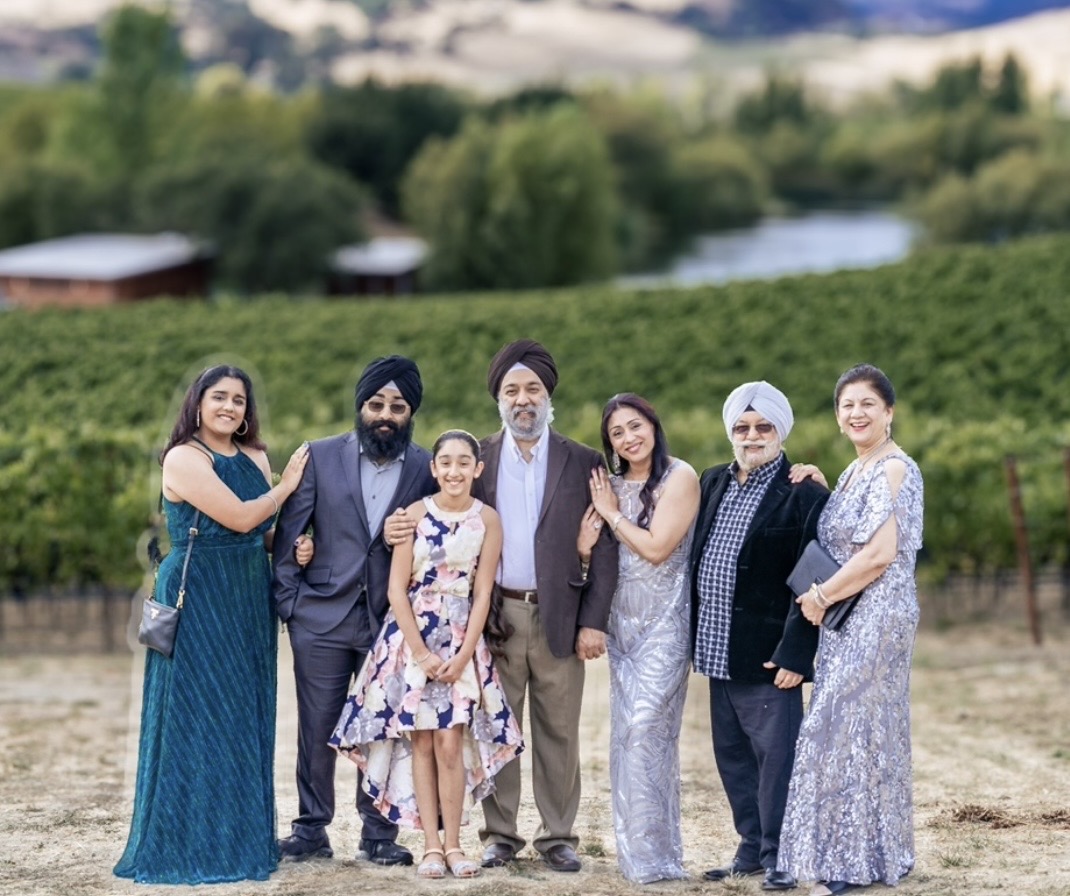
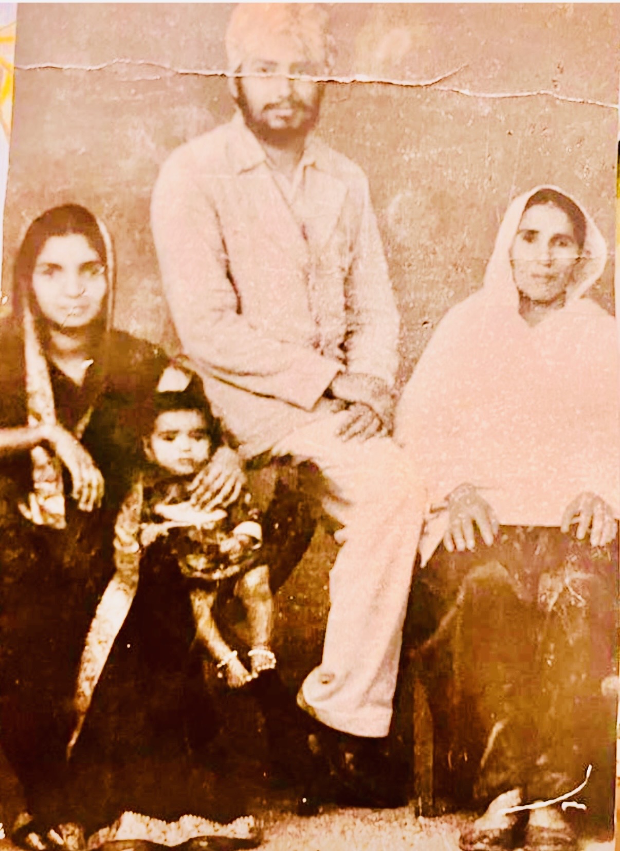
My Beautiful family
I leave behind my son Shivpreet, a scholarly and deeply reflective mind whose intellectual depth and pursuit of knowledge give me confidence that learning and wisdom will continue to flourish in our family on the footsteps of my ancestor Bhai Nand Lal Goya, a loureute poet in the court of Sri Guru Gobind Singh. Beside him stands my daughter-in-law, Shilpy, from a proud Army background, who truly stands like a rock. Her strength, discipline, and steadfastness have completed our family circle. Together, they nurture and guide our three grandchildren, Gobind, Jania, and Geet who represent continuity, hope, and the future unfolding before us.
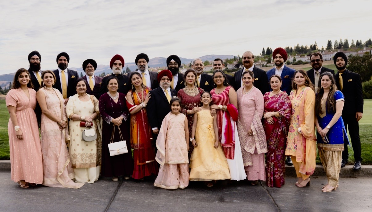
Whole Family get together to celebrate our Golden Jubilee celebrations in Sep 2022.
I am also deeply honored to remain closely connected with my four sisters and their families, bonds that have strengthened rather than faded with time. Equally meaningful is my close relationship with my wife Harvinder’s siblings and their families. These extended family ties have enriched my life, reminding me that relationships, when nurtured, become a lifelong source of strength and belonging.
Faith, Reflection, and Lifelong Learning
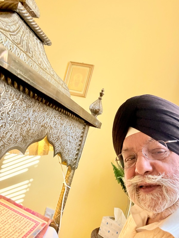 I feel contented to get the ‘Hukamnama’ from the ‘embodiment of God’ Sri Guru Granth Sahib. So proud to have designed the Guru’s room adjoining my bedroom.
I leave behind faith and values, not rigid doctrines, but guiding principles: honesty, humility, service, resilience, and gratitude. My engagement with Sikh heritage and spiritual thought has always been about living with conscience, not display.
I leave behind curiosity and reflection, a habit of observing the world, appreciating history, culture, and learning continuously, even in later years.
Companionship Beyond Words
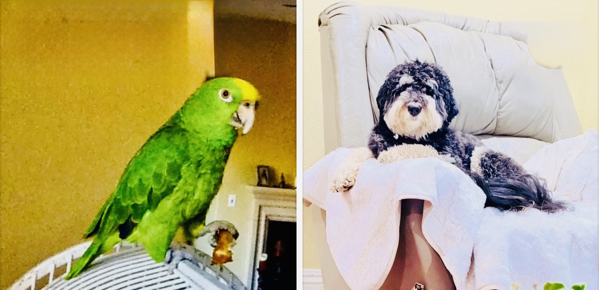 Tweety finally out of his cage. Bhaalu enjoys his Thorne
I also leave behind the quiet joy of companionship that filled our home. Tweety, our Amazon-breed pet bird - a parrot, now 23 years old and, God willing, destined to live up to 85 years, has been a gentle, enduring presence, almost a living witness to our family’s passage through time. Alongside Tweety is Bhaalu, our Bernedoodle - a mountain dog, whose warmth, loyalty, and affection brought life, laughter, and comfort into our everyday moments.
What Remains And My Friends Vision
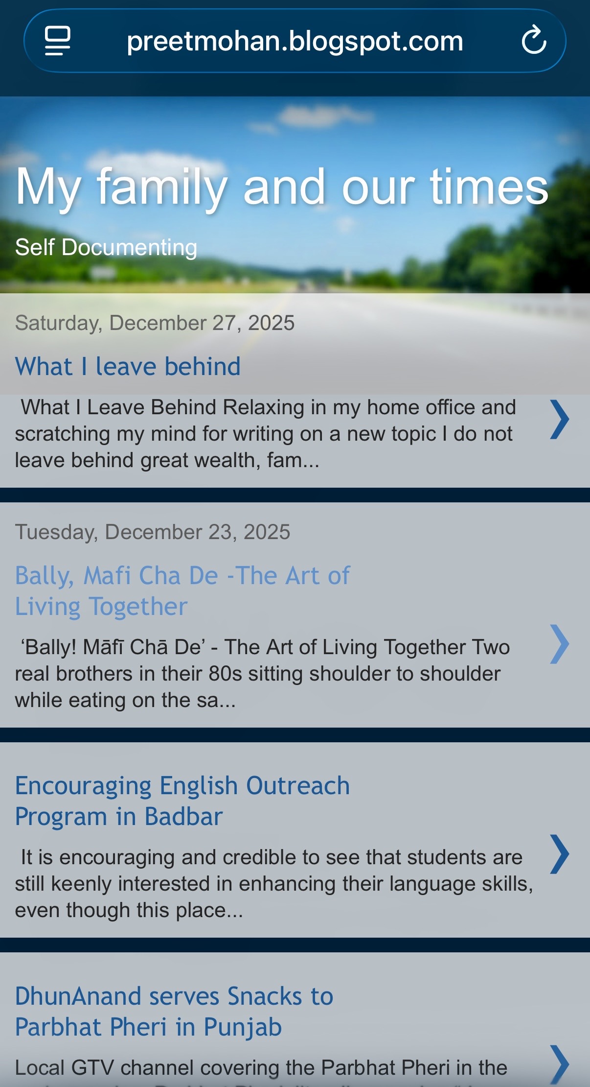 Front page of my Blog in Google
I leave behind stories, written not to impress but to remember, of family, faith, work, struggle, travel, and gratitude. They are my thoughts preserved in words.
And finally, I owe my gratitude for my wife Harvinder, for Shivpreet and Shilpy, for Gobind, Jania, and Geet, for my sisters, Harvinder siblings and extended family, for faith, for work, for service, for companionship, and for the time granted to reflect and record.
I felt every middle income, office going was my friend.
My life story would remain incomplete without acknowledging the deep and lasting influence of my friends, a truth one of my dear friends V. Ramakrishna reminded me in comments on the blog. Yes I do agree from my early years, my neighborhood friends of Jangpura shaped my understanding of companionship, trust, and the simple ethics of everyday living.
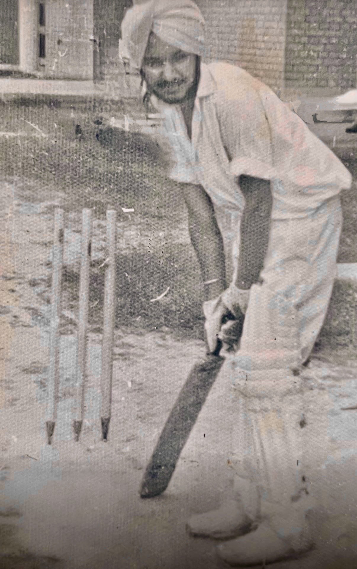
Warming up near my hostel room before going for the game.
The childhood friends from Panipat remind me of stories from our youth, moments of innocence, mischief, learning, and laughter. My friends from Chandigarh College of Engineering and Technology continue to instill wisdom in me. With them, I learned to study widely, think openly, and play cricket with passion and camaraderie.
Together with my colleagues and mentors at the Central Electricity Authority (CEA), who taught me the human side of leadership, personnel management, and selfless service, these friendships collectively shaped my character. They taught me how to listen, how to lead as a Secretary General of Strong Power Engineers Association of 1000 top engineers of the country, without dominance, and how to remain grounded.
I consider myself deeply fortunate that many of these friendships have survived the passage of time. That we are both still living today, sharing memories, wisdom, and gratitude, is itself a gift.
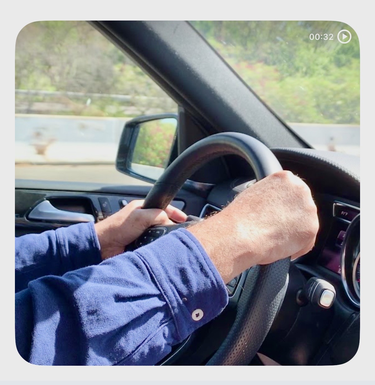
On my way… may be to Hawaii - our next trip
If I am remembered, let it not be for what I accumulated, but for how I lived, with duty, humility, purpose, and a full heart and ‘Chardi Kala’.
That is what I leave behind and perhaps cherish as VR pointed out.